


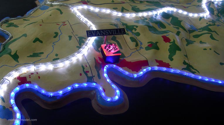

This large-scale interactive mobile display demonstrates the relationship between Indiana communities and their respective watersheds. Each river system and its surrounding watershed is activated via push buttons, as are all of the state’s major population areas, allowing viewers to immediately see what watershed they live in, and how interconnected they are to it.